Cabin Point Waterway and Shoreline Update II
The Glebe Harbor—Cabin Point Sanitary District awarded the Cabin Point inlet channel dredging project to Docks of the Bay, September 2020. The scope of the project included the removal of 1300 cubic yards of clean sand, landward of mean low water within the manmade channel of Cabin Point Creek. Additionally, placement of dredged sand for beach nourishment in the intertidal zone next to groins #1, #2, #3 and #4 located at the end of Royal Way.
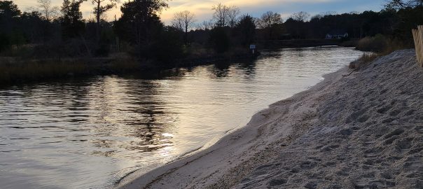
The dredging project was underway in late November 2020 and continued, except for bad weather and holiday time off, until early January. The inlet channel is now passable for two vessels and the depth has been restored to an average depth of 4 feet +/- at MLW (the standard depth for navigation in the community creeks). The dredged sand was placed in the intertidal zone at the north end of the beach as outlined in the earlier NEWS report on 11/29/20.
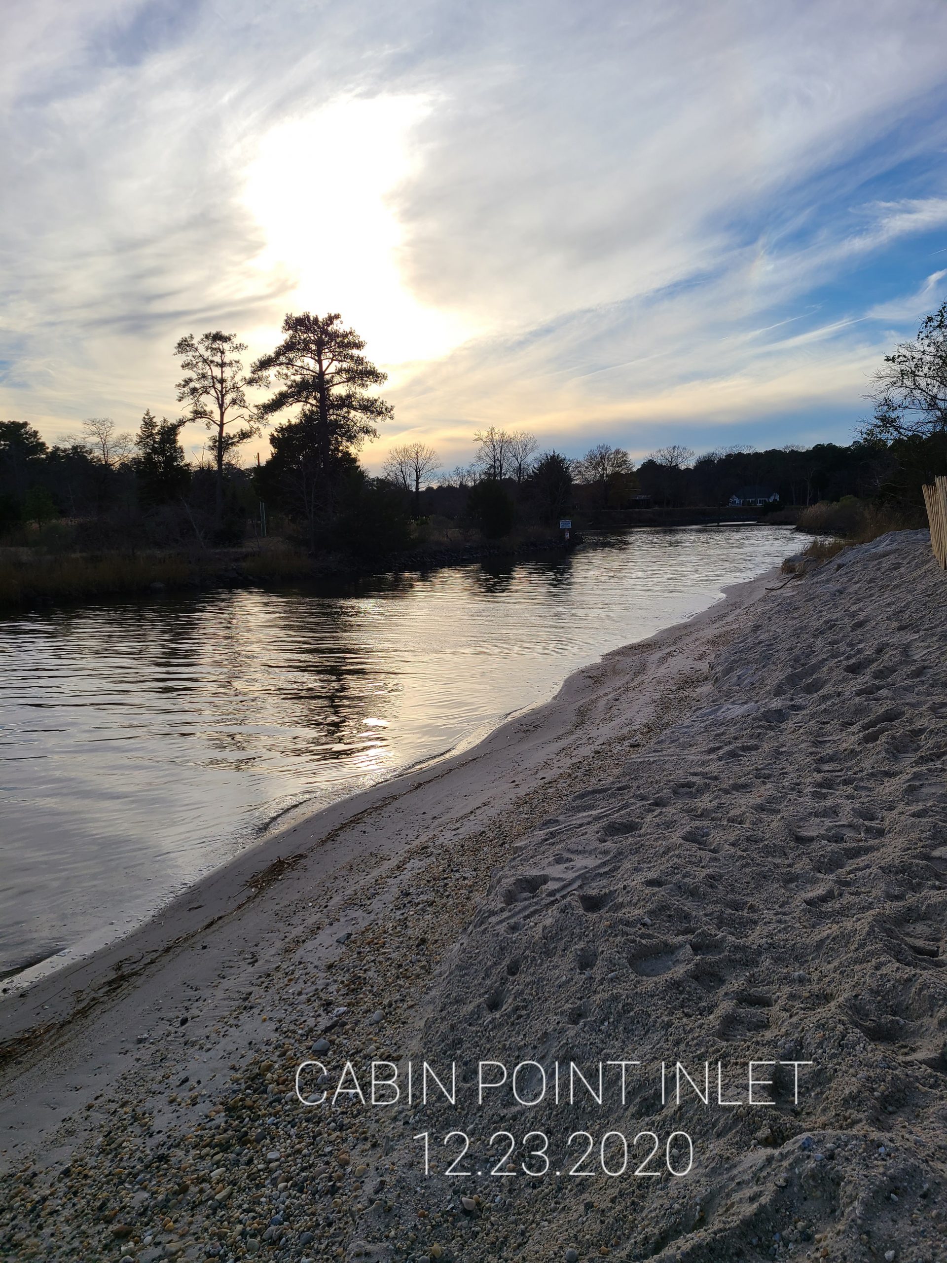
Remaining sand along the slope above the inlet channel was leveled out and spread in low depressions along the south beach shoreline. Sand fencing was installed along the north shore above the inlet channel. These things were done to prevent the sand from being easily picked up by winter storms and wind and blown back into the inlet channel. Future work to mitigate the effects of wind drift from the beach into the channel will be undertaken in the engineering study along the Cabin Point Beach shoreline.
Good News Summary:
Cabin Point inlet channel dredging is complete!
Sand deposited on the north end of the Cabin Point beach.
Sand on the slope of the Cabin Point inlet channel has been leveled and spread out, minimizing the wind drift of sand from the beach into the inlet channel.
Sand Restoration at the Cabin Point Beach
Cabin Point Inlet Channel Fully Restored
(Posted 1/29/2021)
You must be logged in to post a comment.