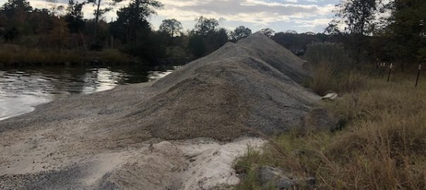
Equipment has been staged at Cabin Point Beach, and digging has begun to open up the channel for the barges to transit. The first load of sand (155 cubic yards) was placed along groin #1. Low tides and high winds halted the project for a few days. Weather and tides permitting, work will resume next week.
The Glebe-Harbor Cabin Point Sanitary District awarded the Cabin Point inlet channel project to Docks of the Bay, September, 2020. The scope of the project includes the removal of 1300 cubic yards of clean sand, landward of mean low water within the manmade channel of Cabin Point Creek. Additionally, placement of dredged sand for beach nourishment in the intertidal zone next to groins #1, #2, #3 and #4 located at the end of Royal Way.
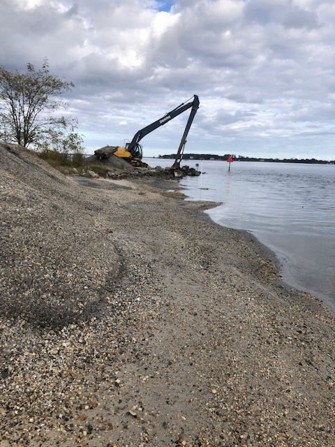
Dredging site at Cabin Point Inlet

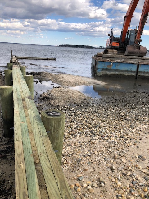
Offloading site at Groin #1 (closest to Royal Way)
Some of the first 155 Yards at Groin#1
And Please Remember:
- Boaters should use caution when entering and exiting the Cabin Point inlet channel. Please be mindful of the workers and equipment staged in the channel.
- Boaters are reminded to abide by the no-wake areas in all of the community creeks. A ‘no wake’ zone is a legally defined area with a SPEED LIMIT on boat travel. This means as slow as possible for safe navigation without losing steerage (usually 5 mph or less).
- Virginia is for Lovers, not litter – a reminder to all of the community to help keep the beaches and waterways clean. Please dispose of all waste properly (including pet waste).
Debbie Dever – Waterway Committee Chair
(posted 11.29.2020)
You must be logged in to post a comment.